
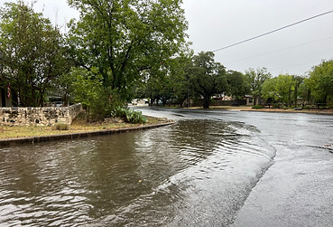
FLOODPLAIN
Flood Exhibits
Flood Exhibits are used to understand the location of the floodplain relative to existing improvements and to determine how much of the property is buildable. The official floodplain is scaled off a FEMA Flood Insurance Rate Map (FIRM) map. We can also show the unofficial Base Level Engineering (BLE) viewer floodplain line as well for informational purposes.

Elevation Certificates
Elevation Certificates are primarily used as a risk assessment tool for flood insurance, but they are also used for proposed structures when building near a floodplain. Our surveyors will measure the elevations of the structure or proposed and complete the form. Searchers has extensive experience preparing Elevation Certificates which in turn used to determine the flood risk and make sure property owners are financially protected from the risk of flood damage.

Letter of Map Amendment
Sometimes the FEMA Flood Insurance Rate Maps (FIRM) inadvertently include land within the floodplain. Searchers is experienced in collecting data, preparing exhibits, and working with FEMA to remove the structures or property from the floodplain. Owners of qualifying tracts can find huge savings on flood insurance premiums.